I’ve been building something I think the HB9SOTA community will find useful: ARO Field Atlas, a free, open platform that puts POTA, SOTA, WWFF, GMA, and more on a single interactive map.
What makes it different from SOTLAS, pota.app or other platforms:
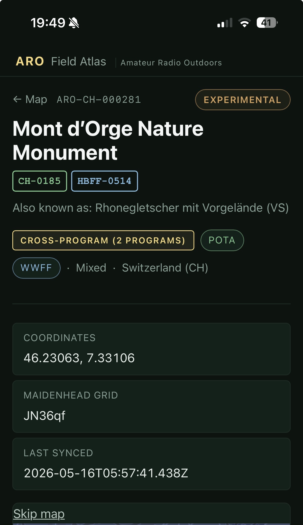
All programs on ONE map, see which parks overlap with which summits. We use the same open model SOTL.as uses, and are very inspired by the great work Manuel has done over many years.
The platform is designed to drive traffic to the programs, not away from them. Amongst the features we have
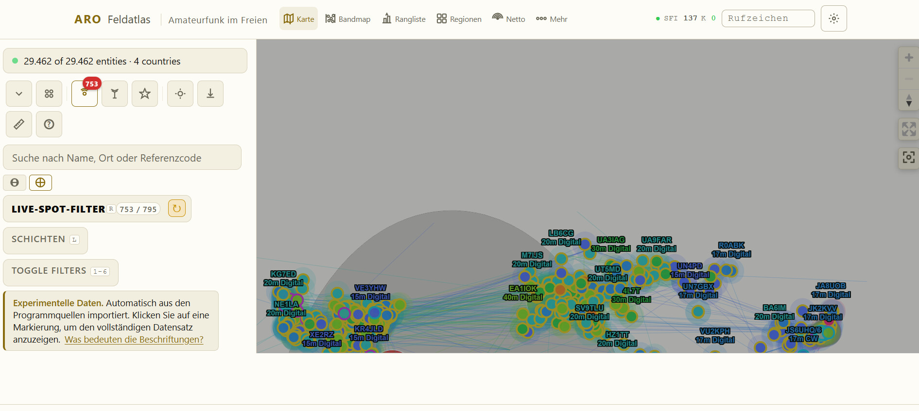
Live propagation: PSKReporter spots, solar conditions (SFI/K), greyline overlay, band activity chart.
Weather forecast on every entity page, check conditions before heading up.
„Plan activation“ form right on the entity page
Enter your callsign to see which entities you’ve activated (green rings on the map) and which you haven’t
SwissTopo basemap included
3,000+ entities in CH/LI/DO, 46,000 activation records indexed
No account needed. Just open aro.travel, enter your callsign in the header, and explore.
Herzlichen Dank, Luis, dass du uns schon in dieser frühen Phase bei deinem Projekt teilnehmen lässt.
Es liegt noch viel Arbeit vor dir, und es wird noch sicherlich eine Zeit dauern, bevor das Ganze stabil ist. Deine Idee ist sehr interessant und bisher noch nirgends so realisiert. Vielleicht kommt dies am besten zum Ausdruck, wenn man einmal in die Statistikseite geht, wo nicht nur, wie bisher üblich jedes Programm einzeln betrachtet wird, sondern die Interaktion zwischen den Programmen deutlich werden.
Bereits 70 % der Aktivierungen sind kombinierte SOTA/POTA-Aktivierungen.
Wer hätte das vor drei Jahren gedacht?
Ich bin zur Zeit in den Ferien, und da ist es ganz nützlich, so eine Karte zu haben, um zu wissen, was man denn alles so um den Ort herum, wo man sich gerade befindet, machen kann.
Je mehr Programme lanciert werden, umso interessanter ist es.
Jeder soll das machen, was ihm Spass macht. Hier kommt jetzt eine Applikation, wo alles drin ist, was Spass machen könnte.
Hi Luis,
I think it’s a very good idea. But to be honest, I was quite lost when going on the site. A map with lot’s of circles → lot’s of questionmarks in my head. I didn’t really know what to do next or where to start. Ease of use will be probably key to make it a success…